
Understanding the New 2026 ALTA Survey Standards — What Everyday Property Owners Need to Know
By Rick Morales, PSM
If you’re buying, selling, refinancing, or developing property, chances are you’ve heard the term ALTA survey thrown around by lenders, title companies, or attorneys. For most people, it sounds technical—and frankly, a little intimidating. With the new 2026 ALTA/NSPS Land Title Survey Standards officially taking effect on February 23, 2026, there are some important updates that property owners should understand, without needing an engineering degree to do so.
Let’s break it down in plain English.
First, what is an ALTA survey?
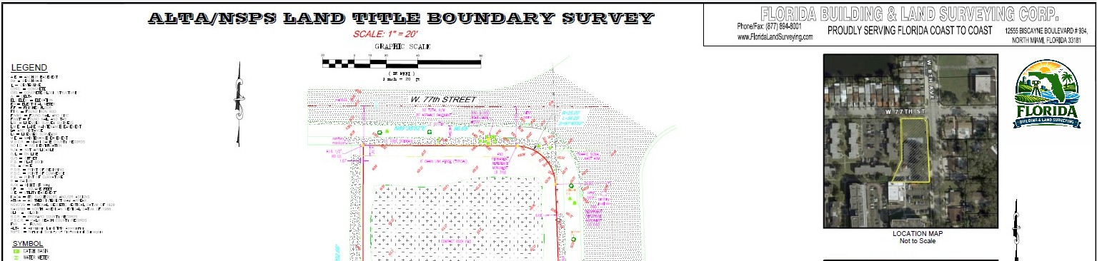
An ALTA survey is a highly detailed property survey used primarily for real estate transactions involving title insurance. Its purpose is to uncover things that might affect ownership or use of a property—such as boundary issues, easements, encroachments, access, and improvements—so lenders and title insurers can insure the property with confidence
Think of it as the most thorough “checkup” your property can get before money changes hands.
Why were the standards updated?
The last major update occurred several years ago, and since then, technology, land use, and legal expectations have continued to evolve. The 2026 standards aim to:
- Improve clarity and consistency
- Reduce misunderstandings between surveyors, clients, lenders, and title insurers
- Reflect modern surveying methods and real-world conditions
- Better document risks that could impact property ownership or development
In short, the new standards are about reducing surprises.
Key changes explained simply
- Clearer responsibility upfront
The new standards place stronger emphasis on defining the scope of work at the beginning. Clients must clearly request a “2026 ALTA/NSPS Land Title Survey” and specify which optional items (known as Table A items) they want included
Why this matters to you:
No more assumptions. Everyone knows what’s included, what’s not, and why costs may vary from one ALTA survey to another.
- Better documentation of access and encroachments
Surveyors are now required to be more detailed when showing:
- How you access your property
- Driveways crossing property lines
- Fences, buildings, or structures that may cross boundaries
- Evidence of people using land without a recorded easement
Why this matters:
These issues often cause delays—or worse—after closing. Identifying them early protects buyers and lenders.
- Increased transparency with easements
Easements (like utility or access rights) are a major focus. The new standards require surveyors to clearly state whether easements:
- Are shown on the survey
- Cannot be located from records
- Are blanket easements
- Don’t actually affect the property at all
Why this matters:
You’ll better understand what rights others may have on your property—and what risks truly exist versus what just appears on paper.
- More precise measurements—with explanations
The 2026 standards reaffirm strict measurement accuracy requirements but also require surveyors to explain when site conditions prevent achieving ideal precision, such as dense vegetation or restricted access
Why this matters:
Instead of silent assumptions, you’ll see clear notes explaining limitations—making the survey easier to interpret and trust.
- Stronger emphasis on communication
If a survey reveals gaps, overlaps, or conflicts with recorded documents, the surveyor must clearly disclose this to both the client and title insurer before final delivery
Why this matters:
Problems don’t get buried. They get addressed early, when solutions are easier and cheaper.
What hasn’t changed?
ALTA surveys are still:
- Not zoning reports
- Not engineering design surveys
- Dependent on the documents provided (like title commitments)
What has changed is how clearly these limitations must be communicated.
What this means for Florida property owners
Florida presents unique challenges—coastal boundaries, drainage features, dense urban development, and complex easement networks. Under the new standards, having a surveyor who understands both the national ALTA requirements and Florida-specific conditions is more important than ever.
Navigating the transition with confidence
The shift to the 2026 ALTA standards doesn’t have to be overwhelming. It simply means better-defined surveys, clearer expectations, and fewer last-minute surprises—when done correctly.
That’s where Florida Building and Land Surveying stands apart.
Our team stays ahead of regulatory changes, understands how these new standards impact real transactions, and communicates findings in a way clients actually understand. Whether you’re a buyer, lender, attorney, or developer, we help you navigate this transition smoothly—protecting your investment and keeping your project moving forward.
In an industry where clarity matters, experience makes the difference. Florida Building and Land Surveying is here to guide you through the new ALTA standards with confidence.