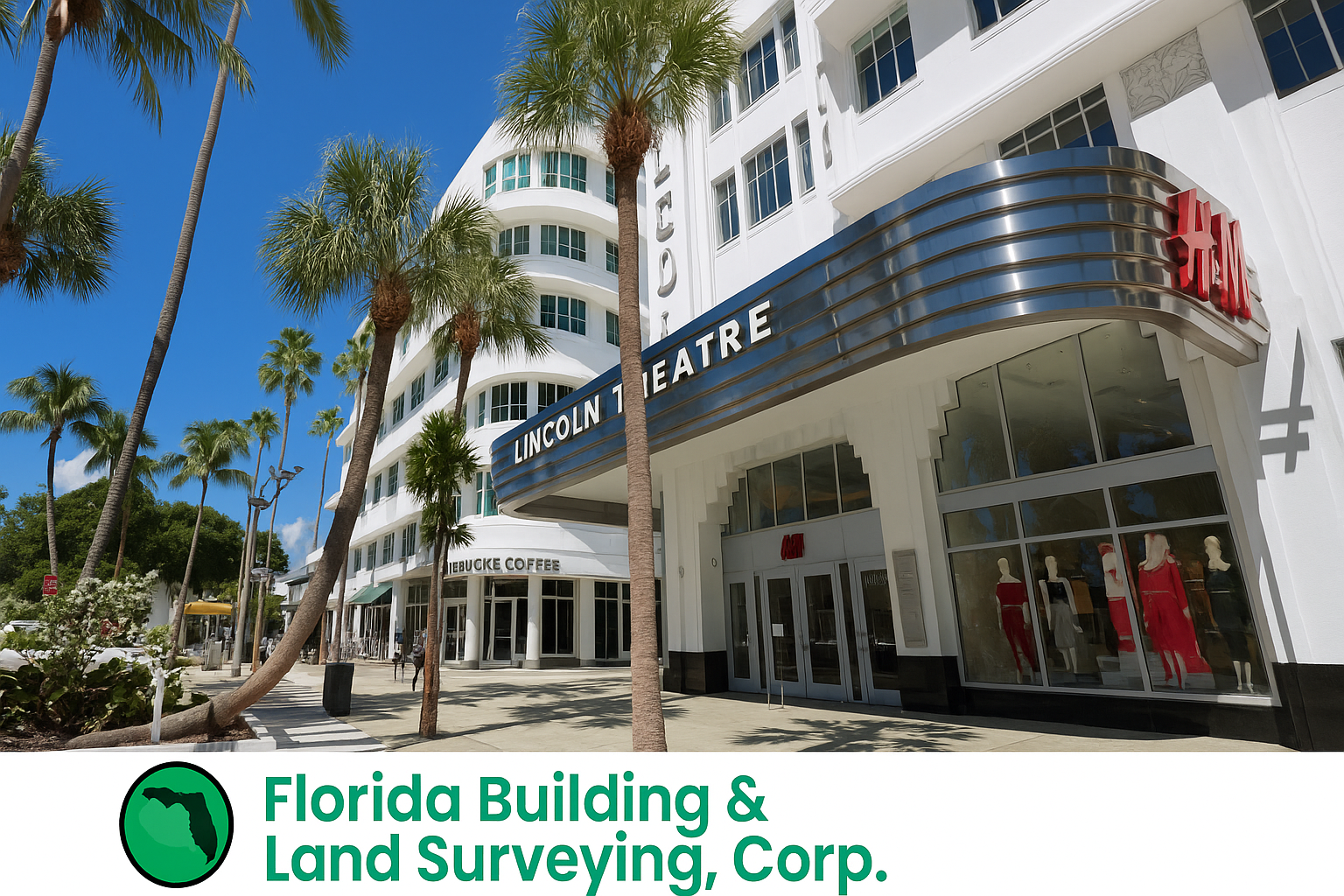
Every now and then, we get a project that really reminds us why we love what we do. Our recent land surveying job on Lincoln Road in Miami Beach, FL was one of those moments. Between the energy of the area, the challenge of the site, and the technology we brought into play, this survey turned into one of our most rewarding projects of the season.
A Survey in the Heart of Miami Beach
If you’ve ever walked down Lincoln Road, you know it’s not your average street. It’s packed with restaurants, shops, and people at almost every hour of the day. So, when we were called to perform a comprehensive ALTA/NSPS Land Title Survey for a property just off the main strip, we knew we’d need to bring our best mix of precision, patience, and creativity.
The client — a commercial developer — needed a detailed, ALTA-standard survey for financing and redevelopment purposes. Because the property sits within a high-density coastal zone, they required the highest level of accuracy for boundaries, easements, and elevation data.
Setting Up for Success with GNSS and Drone Technology
For this job, we relied heavily on our GNSS (Global Navigation Satellite System) equipment and drone aerial mapping — two technologies that have completely changed how we approach complex urban sites.
GNSS Ground Control
We started by establishing a geodetic control network tied into state plane coordinates and NAVD88 vertical datum. Miami Beach sits just a few feet above sea level, so getting our vertical data right is crucial — especially for any future flood elevation certificates. GNSS helped us lock in the precision we needed even in tight spaces surrounded by tall buildings.
Drone Aerial Mapping
Then came the fun part — launching our drone over Lincoln Road early in the morning before the crowds arrived. The drone captured high-resolution aerial images that we used to create a 3D orthomosaic of the entire site.
This gave us a full top-down view, allowing us to measure grade changes, surface features, and roof elevations that would have taken hours (or days) to capture manually.
The combination of GNSS control points and drone photogrammetry gave us an incredibly detailed model that met ALTA/NSPS standards and saved valuable time for the client.
Navigating Miami Beach Challenges
Working on Lincoln Road isn’t exactly like surveying an open field. We had to navigate:
- Pedestrian traffic and limited line-of-sight for total stations
- Tight time windows to operate drones safely and legally
- Interference from surrounding structures that can affect GNSS accuracy
- And of course, Miami Beach’s strict permitting and coastal regulations
Despite all that, our crew coordinated with the city, property managers, and nearby businesses to get the job done safely and efficiently. We take pride in keeping our operations professional and respectful of the neighborhood — even when we’re flying drones over rooftops at sunrise!
Delivering ALTA-Standard Results
When we wrapped up, our client received:
- A fully certified ALTA/NSPS Land Title Survey, ready for title and lending purposes
- Detailed topographic and elevation data tied to FEMA benchmarks
- 3D imagery and digital files for their engineering and design team
- All deliverables stamped, sealed, and delivered ahead of schedule
It’s always satisfying to see how our work directly supports a client’s vision — whether it’s a new development, a major renovation, or simply establishing clear property boundaries before construction.
Why We Love Surveying in Miami Beach
There’s something special about surveying in Miami Beach. Between the mix of historic architecture, modern construction, and the ever-present ocean breeze, it’s never the same twice.
Projects like this remind us how important accurate surveying and mapping are in keeping the city’s growth sustainable and compliant with all the right regulations — from ALTA standards to FEMA flood elevation requirements.
We left Lincoln Road that day with solid data, happy clients, and a great appreciation for how technology is transforming our industry.
Need a land survey on Lincoln Road or anywhere in Miami Beach? Call 877-894-8001 or visit FloridaLandSurveying.com to schedule your next ALTA, topographic, or drone mapping project today.

