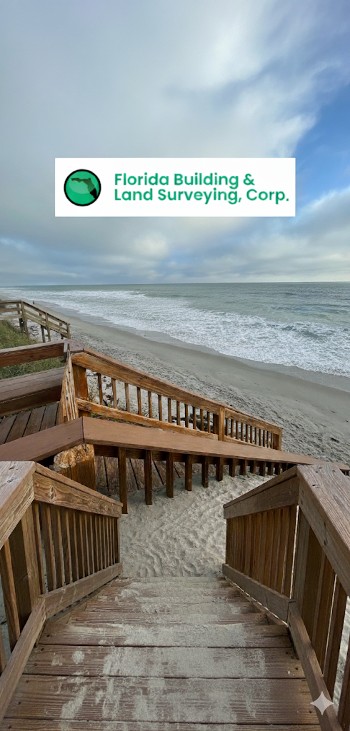
Developing property along Florida’s coastline offers unparalleled rewards, but it demands an equally high level of precision and regulatory compliance. At Florida Building & Land Surveying, we specialize in mastering this complexity. We recently completed a significant coastal construction project in Melbourne Beach, Florida, where the accurate location of the Coastal Construction Control Line (CCCL) was the critical first step to success. This experience underscores a fundamental truth: precise land surveying is not optional—it is the indispensable foundation for any resilient and compliant coastal development.
Understanding the Coastal Construction Control Line (CCCL)
The CCCL, established in 1986, is the regulatory boundary set by the Florida Department of Environmental Protection (FDEP) to protect Florida’s delicate beachfront. Its primary purpose is three-fold:
- Ecological Safeguard: To protect the fragile beach dune system, native vegetation, and vital coastal ecosystems that are essential for habitat and natural storm buffering.
- Structural Integrity: To minimize property damage from coastal erosion, storm surges, and hurricanes.
- Future Resilience: To ensure that construction is set back far enough to allow for natural beach recovery and adaptation.
Any planned structure seaward of the CCCL—including buildings, pools, patios, decks, and even certain landscaping—requires stringent review and permitting. Attempting to build without understanding this line is a direct path to costly regulatory roadblocks, fines, and potential demolition.
The Expert Land Surveyor’s Step-by-Step Approach to CCCL Compliance
To guarantee your coastal construction project proceeds smoothly and adheres to all FDEP regulations, we implement a meticulous, step-by-step surveying process:
Step 1: Project Initiation and Data Acquisition
The first crucial phase involves gathering all existing legal and physical data. We review the official property deed, existing survey plats, and historical aerial photography. For our Melbourne Beach client, this preliminary data review was key to understanding the site’s unique characteristics and regulatory history.
Step 2: The Precise Coastal Land Survey
This is where our expertise delivers maximum value. We deploy advanced surveying technology, including high-precision GPS and total stations, to accurately locate the following critical lines:
- The 1986 CCCL: We calculate and physically mark the established regulatory boundary based on FDEP-approved methodologies.
- Property Boundaries: We establish the exact limits of your coastal property, ensuring no encroachments.
- Topographic and Elevation Data: We create detailed topographic surveys, measuring existing elevations to inform engineering designs for drainage and flood zone compliance. We locate the Mean High Water Line (MHWL) and other tidal boundaries.
Step 3: Certification and Documentation for Permitting
Once the lines are established, we translate the field data into the necessary legal documents. We generate certified survey maps and site plans required by the FDEP for your coastal permit application. This comprehensive documentation clearly defines the buildable area and certifies the accuracy of the CCCL location, providing the regulatory proof that your project is fully compliant. This expert documentation is a non-negotiable requirement for securing approval and ensuring your construction plans are legally sound.
The Negative Impact of Survey Neglect
The consequences of neglecting an accurate coastal land survey are severe and invariably outweigh the initial cost of a professional service.
- Regulatory Penalties: Incorrectly locating the CCCL or other sensitive lines can trigger cease-and-desist orders, mandatory redesigns, or large fines from the FDEP.
- Structural Risk: Building too close to the dune system compromises the natural barrier, leaving your structure vulnerable to coastal erosion and storm damage.
- Project Derailment: Permitting delays caused by inaccurate plans can extend project timelines by months, significantly inflating construction costs and frustrating investors.
At Florida Building & Land Surveying, we are expert land surveyors specializing in the nuances of Florida coastal regulations. Our proactive and precise approach, demonstrated successfully in Melbourne Beach and countless other projects, ensures that your vision for a beautiful coastal property is built on a foundation of regulatory compliance and long-term resilience. Choose expertise—choose Florida Building & Land Surveying, Corp.—to secure the success of your next coastal construction venture.

