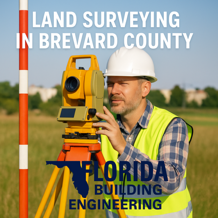
Land Surveying in Brevard County: Expert Boundary, Elevation & Construction Surveys in Melbourne, Rockledge, Viera, Melbourne Beach & Vero Beach
When property owners, builders, and developers in Brevard County need precise, fast, and fully compliant land surveying, they turn to Florida Building & Land Surveying—home of PSM Rick Morales and FAA Commercial Pilot Roger Morales. Our team delivers boundary, topographic, construction layout, FEMA elevation certificates, ALTA/NSPS surveys, and aerial GNSS surveys across the entire Space Coast.
From historic neighborhoods in Melbourne, to booming development zones in Viera, to coastal construction along Melbourne Beach and Vero Beach, accurate surveying is critical for permitting, design, and compliance with Florida Building Code, FEMA, and local county requirements.
Why Land Surveying Matters in Brevard County
Brevard County’s unique mix of coastal conditions, flood zones, waterfront boundaries, aging subdivisions, and rapid expansion creates surveying needs that require expert precision.
Surveying here is not “standard”—it requires:
-
Specialized coastal elevation accuracy
-
Knowledge of erosion setbacks and coastal construction control lines
-
Navigating older plats with inconsistent monuments
-
FEMA flood documentation for insurance & permitting
-
Exact data for new home additions, pools, and commercial expansions
-
Fast turnarounds for real estate and lending deadlines
Our team uses state-of-the-art GNSS, robotic total stations, drone mapping, and aerial surveying from our new Grand Caravan aircraft to deliver unmatched accuracy anywhere in Brevard County.
Land Surveying in Melbourne, FL
Melbourne contains a complex mix of:
-
Waterfront parcels along the Indian River
-
Dense downtown redevelopment zones
-
Older subdivisions with inconsistent boundary markers
-
High demand for elevation certificates & as-built surveys
We routinely complete:
-
Boundary Surveys for real estate closings
-
Topographic Surveys for home additions & new builds
-
Construction Layout for contractors and architects
-
FEMA Elevation Certificates for flood insurance and permitting
-
ALTA Surveys for commercial developments
Our aerial survey capability allows us to reach Melbourne sites same-day, delivering industry-leading turnaround times.
Land Surveying in Rockledge, FL
As one of Brevard’s fastest-growing residential and commercial areas, Rockledge has high demand for:
-
New construction surveys
-
Lot splits and platting
-
Construction staking for builders
-
Engineering-grade topo surveys
Rockledge’s rolling terrain along the river requires surveyors who understand elevation changes, drainage flow, and setback compliance.
We provide exact GNSS data trusted by engineers, architects, and county reviewers.
Land Surveying in Viera, FL
Viera is known for new subdivisions, master-planned developments, and strict HOA requirements.
Our services in Viera include:
-
Pre-construction staking for new builds
-
Lot boundary verification before fence/landscape installation
-
HOA compliance surveys
-
Foundation form surveys
-
Final as-built surveys for certificate of occupancy
-
High-accuracy GPS elevation surveys for grading and drainage
Because Viera developments must meet precise engineering standards, accuracy and speed are crucial—our team delivers both.
Land Surveying in Melbourne Beach, FL
Melbourne Beach offers some of the most challenging surveying environments in Florida:
-
Coastal construction zones
-
High-wind areas
-
FEMA flood zones
-
Waterward boundaries with shifting markers
-
Tight lots with encroachment risks
We are experts in:
-
Coastal surveying
-
FEMA elevation certification
-
Waterfront boundary mapping
-
CCCL (Coastal Construction Control Line) compliance
-
Property line verification for seawalls & docks
Our team recently performed major coastal as-built and structural inspections in Melbourne Beach, giving us extensive familiarity with the area’s unique requirements.
Land Surveying in Vero Beach, FL
Although located just outside Brevard County, Vero Beach is a core service area due to its rapid growth and coastal needs.
We regularly provide:
-
Boundary & topographic surveys
-
LOMA & FEMA elevation certificates
-
Drone-based aerial topography
-
ALTA/NSPS commercial surveys
-
New construction layout
-
Waterfront boundary clarifications
Vero Beach properties—especially near A1A—require surveyors who understand coastal setbacks, flood plains, and concurrency with Indian River County.
Why Choose Florida Building & Land Surveying?
✔ PSM Rick Morales – Over 33 years of surveying & geomatics expertise
✔ FAA Commercial Pilot Roger Morales – Enables fast deployment anywhere in Florida
✔ Aerial Surveys using our Grand Caravan & GNSS-equipped drones
✔ Fast turnarounds for real estate, construction & legal deadlines
✔ Full compliance with Florida Building Code, FEMA, county, and city requirements
✔ Licensed, insured, and trusted by builders, attorneys, engineers, architects, and HOAs
Whether you need a Boundary Survey in Melbourne, a Topo in Viera, a Construction Layout in Rockledge, or an Elevation Certificate in Melbourne Beach or Vero Beach, our team delivers professional, accurate, and timely results.
Call Today for Land Surveying in Brevard County
Florida Building & Land Surveying
Serving ALL of Melbourne, Rockledge, Viera, Melbourne Beach & Vero Beach
📞 877-894-8001
📧 info@inspectionsandengineering.com
🌐 FloridaLandSurveying.com | MyFloridaPros.com

