
Successful drainage design in Northeast Florida depends on strong collaboration between civil engineers and land surveyors. In Duval County, where flat terrain, subtle elevation changes, and strict stormwater requirements are common, engineers need survey data they can trust—especially when preparing drainage and grading plans.
That’s where we’ve built our reputation.
We are known for being dependable colleagues to engineers working throughout Jacksonville, Atlantic Beach, Neptune Beach, Jacksonville Beach, and surrounding areas. Our detailed boundary and topographic surveys are performed with drainage design in mind, helping engineers move from concept to permitting with confidence.
Surveying With the Engineer’s Drainage Plan in Mind
Drainage plans rely heavily on accurate elevation data. Missing or generalized topo information can lead to incorrect flow assumptions, undersized stormwater facilities, or costly redesigns after review.
When we perform boundary and topographic surveys in Duval County, our focus is on how the data will be used by engineers designing:
- Stormwater management systems
- Drainage ponds and swales
- Overland flow paths
- Site grading and earthwork
Our deliverables are structured to support engineering workflows, reducing RFIs and minimizing back-and-forth during design and permitting.
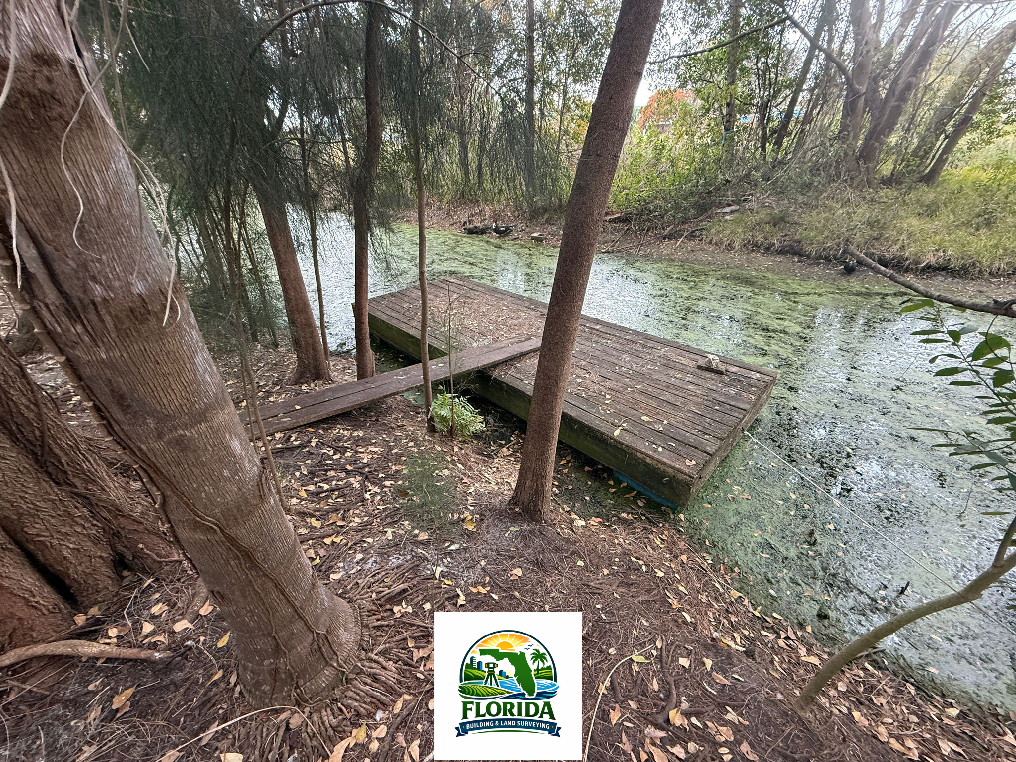
Real-World Example: 8-Acre Drainage Survey in Jacksonville, Florida
A recent project in Jacksonville, Florida highlights the level of detail we bring to drainage-driven work.
We were contracted to perform a boundary and topographic survey on an approximately 8-acre parcel intended for development. Due to the site’s drainage requirements, the civil engineer specified:
- Topographic shots every 50 feet across the entire site
- Detailed mapping of subtle grade changes
- Tree locations, including trunks relevant to grading, drainage, and clearing limits
Our crew executed the survey with consistent shot spacing, careful attention to breaklines, and precise tree locations to ensure the resulting surface model accurately reflected existing conditions.
The final survey allowed the engineer to confidently prepare Jacksonville drainage plans without relying on assumptions—saving time during design and reducing review comments during permitting.
Supporting Engineers Throughout Duval County
While Jacksonville was the location of this project, the same level of detail applies to our work across Duval County, including:
- Atlantic Beach drainage and site civil projects
- Neptune Beach residential and commercial developments
- Jacksonville Beach stormwater and grading plans
- Unincorporated Duval County parcels requiring county review
Each area presents its own nuances, but the need for accurate boundary resolution and high-density topo data remains the same.
Boundary Accuracy That Protects Drainage Design
Drainage features must stay within property lines, easements, and setbacks. Our Duval County boundary surveys are performed with thorough record research and careful field verification so engineers can design confidently.
We clearly depict:
- Property boundaries
- Easements and rights-of-way
- Encumbrances affecting drainage improvements
This helps engineers avoid late-stage redesigns caused by boundary conflicts—especially critical on tight urban sites in Jacksonville and the beach communities.
Professional Standards Backed by Florida Expertise
As professionals working in Florida, we align our work with the standards and ethics promoted by Florida Building & Land Surveying, an organization dedicated to advancing quality, accuracy, and professionalism in land surveying statewide.
That commitment shows in our:
- Field procedures
- Quality control processes
- Clear, engineer-friendly deliverables
Engineers across Duval County know they can rely on our surveys as a solid foundation for drainage and stormwater design.
A Trusted Survey Partner for Duval County Engineers
Whether a project is located in Jacksonville, Jacksonville Beach, Atlantic Beach, or Neptune Beach, engineers need a surveyor who understands how drainage plans are reviewed, permitted, and built in Northeast Florida.
Our focus on:
- Detailed boundary surveys
- High-density topographic data
- Tree locations and site features
- Proactive communication
makes us a strong colleague to have on any drainage-focused project in Duval County.
If you’re a civil engineer looking for a Duval County land surveyor experienced in boundary and topo surveys for drainage design, we’re ready to support your next project with accurate data and dependable collaboration.